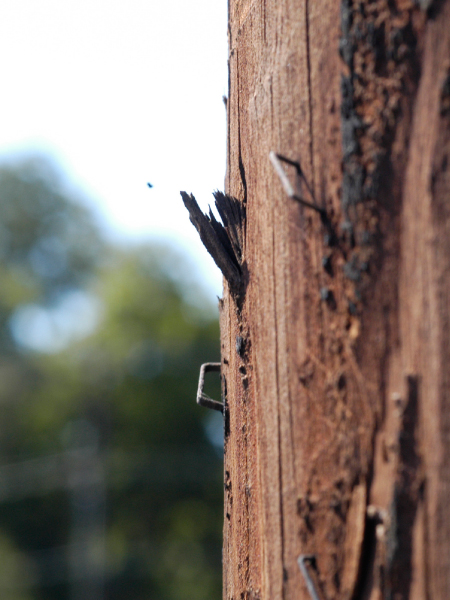
STAPLES
Public use of—and assumptions about—the intersection of Barton Springs Rd and South Lamar Blvd in Austin, Texas are explored in this diagram. Every staple on every telephone pole within 100 yards of the center of the intersection was counted, and both its cardinal position and its vertical position on the pole logged. From this data, each telephone pole was rendered as a three dimensional embodiment of its staple-content. These forms appear oddly human and begin to tell the story of information postings at this intersection—the private use of public space.
| ROBIN PEEPLES | PORTFOLIO | IDENTITY & LOGO |
| CONTACT | MAPPING & DATA | |
| ABOUT | PHOTOGRAPHY | |
| BLOG | ENVIRONMENT | |
| PUBLICATIONS | ||
| WEB DESIGN | ||
| ET CETERA |
© 2005-2008 ROBIN PEEPLES. ALL RIGHTS RESERVED.